Hammerfest (Lat. 70.66 deg.) 北纬70.66度
June 14: Our ship docked at Hammerfest in the morning. The town is located on the island of Kvaløya, just off the coast of the Norwegian Sea, with a population of more than 10,000. Today, this town is an important hub for the oil and gas industry in the region.
Eager to explore the city, we again purchased a 24-hour transportation card on our phones before stepping off the ship. With two bus stations close to the port, we opted for the less crowded one. With our transportation card, boarding the bus was a breeze. Little did we anticipate that the next stop would be bustling with passengers from our cruise ship. People were confused about paying for the bus tickets and blocked the bus door. To our surprise, the driver kindly gestured for everyone to get on quickly and generously, waiving the ticket fares. This thoughtful act spared them all the inconvenience of purchasing tickets on the spot. With a cheerful atmosphere, the passengers happily made their way to the vibrant city center. We couldn't help but appreciate the driver's kindness in waiving the ticket fares, making our travel experience more enjoyable.
When we arrived in the city center, we first took a photo in front of the Hammerfest city's landmark. Then, we visited the Hammerfest church. We notice the churches in Northern Norway have a similar architectural touch, a long triangle style integrated with the tower with the main entrance or the main buildings. Interestingly, this design differs from what we might find in other parts of Europe, where bell towers or clock towers are often placed on top of the main building. The traditional design in Northern Norway seems to emphasize the verticality of the structure, with the tower integrated into the overall shape of the church and surviving better under extreme cold and heavy snow weather conditions.


We climbed the hill near the city center after visiting the Royal and Ancient Polar Bear Society. Although not too high, it had a steep slope, making it challenging. After reaching the hilltop, we enjoyed the panoramic view of the city and took some photos. We noticed a village inhabited by the Sami people, but it turned out to be a tourist attraction rather than a permanent settlement. An elderly Sami gentleman engaged us in conversation and invited us into a small tent with a warm fire. They no longer reside there permanently but utilize the area during the summer to tend to their reindeer and organize tourist activities. The reindeer in this region belong to the Sami people.


As the wind picked up and it started getting cold on the mountaintop, we decided to take the bus back to the city. We met a Norwegian couple also waiting for the bus. They mentioned the bus should arrive in just two minutes, but after waiting for over twenty minutes, no bus was in sight. During this time, we chatted with the couple and learned they were from southern Norway, visiting their daughter's sheep farm on a small island in the north. As the bus didn't show up, they kindly showed us a shortcut down the mountain and even accompanied us all the way to the city center, displaying remarkable warm hospitality. We later discovered that the buses in town took a one-hour break during lunchtime.
We returned to the ship for a quick lunch. Then we visited a small fishing village outside the city and took the bus there. However, upon arrival, we found that the village only had a small dock and a few fishing boats, with no other facilities or a single person. The weather was chilly, and the wind was fierce. The next bus back to the city wouldn't come for another forty minutes. So we had to seek shelter and warmth at the bus station, a concrete shed. It was chilly, and we were a little scared. We even had doubts about whether the bus would arrive on time since it was such a remote area that we might miss the ship's departure time.
The bus did come, and we were back in the city finally. We headed to the monument, which marks the northernmost point of the Struve Geodetic Arc, a part of the UNESCO site. These measurement points were established to determine the shape and size of the Earth, making them significant in terms of world cultural heritage.
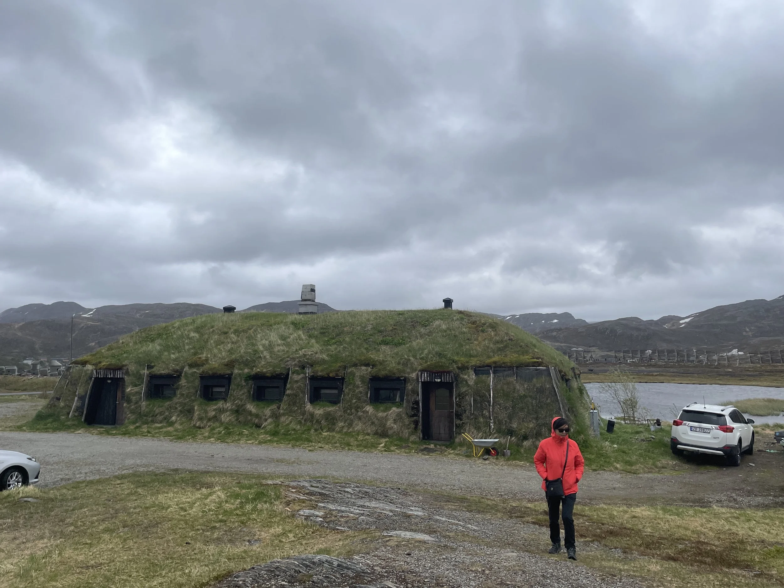
With the ship's late departure, we explored a local historical site near the port after enjoying our dinner. This site was a collection of temporary housing structures from the post-World War II era, thoughtfully relocated for preservation. The city had faced significant destruction during the war, leaving only one building standing, which made the post-war architecture even more historically valuable.
Despite its small size, Hammerfest taught us many valuable lessons and left a lasting impression on our journey.
6/14: 北纬70.66度(Hammerfest)
我们外出尽量利用当地公交车,下船前先在手机上直接买了当地2 4小时的交通卡。在码头附近有二个车站,我们去了前面车站,车站上没几个人,我们有交通卡,车来就直接上车。没想到下一站站满了从游轮下来的乘客,大家全要在车上买票,有点乱哄哄。 司机看着这么多要买票的,也许出于好心,也许是怕这么多人票买下来,这车半小时也开不了,懒得收这个钱,就挥手让大家赶快上车,不用买票了,满满的一车人高高兴兴地到市中心全部下去。
我们先在Hammerfest市的市标前照个相,然后走去教堂打卡,接着去爬山,山不高但坡度挺陡的,弯弯曲曲还挺费劲的。在山顶上看看城市全景再照个相。看到附近有个挪威土族人(Sami)的村庄,实际上也是为游客而建的,他们正等着下一波游客团队的到来,我们凑热闹上去和一位老人聊聊,他让我们进到烧着火的小帐篷里看看。其实他们已不住这里,夏天会来这里放养驯鹿和搞些旅游活动,冬天回到较为暖和的山上。这里驯鹿都属于Sami人的。
山上风大,走一会儿有点冷,想坐车回船,看到一对挪威夫妇也在等车,说是二分钟公交车就会来的,结果等了二十几分钟车也没来。等车期间与他们聊天,他们来自挪威南方,去在北方小岛女儿家帮看外孙,女儿家在岛上有个养羊场。公交车不见踪影,我们准备走下山回市区,他们给我们指点了一条近路,怕我们走错就索性陪我们一路下山到市中心,真是一对热心人。我们走回船码头后才发现中午公交车休息一小时。
午餐后心血来潮要去城外的小渔村,还是坐公交车去。但来到那里一看,小渔村就只有个小的船码头和几条渔船,没任何其它设施, 更没一个人。当时天很冷且风非常大,下一班回市里的公交车要等四十分钟才来,我们只能待在车站棚避风保暖。
总算回到市区,接着来到斯特鲁维测地弧最北的一个测量点的纪念碑,这些测量点是为了确立地球的参考椭球体,直接测量地球大小的,被列为世界文化遗产。船要到半夜才离开,晚饭后又去了码头边的当地历史点,他们把岛上二战后建的临时住房搬了过来。二战期间,德军把整个城市都毁了,只有一幢楼幸存下来,所以二战后建筑算是历史建筑了。
这座城虽小,我们学了不少东西。


